Ensuring Safety and Precision in Every Project
GPR Ground Penetrating Radar Scanning SEQ: Locate Non-Metallic Assets
Why GPR is Essential for Comprehensive Subsurface Mapping
Traditional methods like potholing or relying solely on plans are costly, time-consuming, and prone to error. Ground Penetrating Radar (GPR) also known as Geo Radar is the single most versatile, non-destructive inspection tool for generating a complete map of what lies beneath, whether it’s metallic, plastic, or concrete.
The Utiliseek GPR Scanning Advantage:
- Total Visibility: Unlike EMF, GPR detects metallic, plastic, concrete, and non-conductive materials (e.g., PVC pipes, voids, and old foundations).
- Structural Integrity: Safely scan concrete slabs before cutting, coring, or drilling to avoid hitting rebar, post-tension cables, and conduits.
- High Resolution: Generates high-resolution, real-time images of the subsurface, allowing for immediate and accurate mark-outs.
Our Professional Services
EMF Utility Locating
Our EMF utility locating service uses electromagnetic frequency technology to accurately detect and map underground utilities, ensuring safe and efficient excavation.
CCTV Drain Inspections
Utiliseek’s CCTV drain inspections provide a clear view of your drainage systems, identifying blockages and structural issues with precision and clarity.
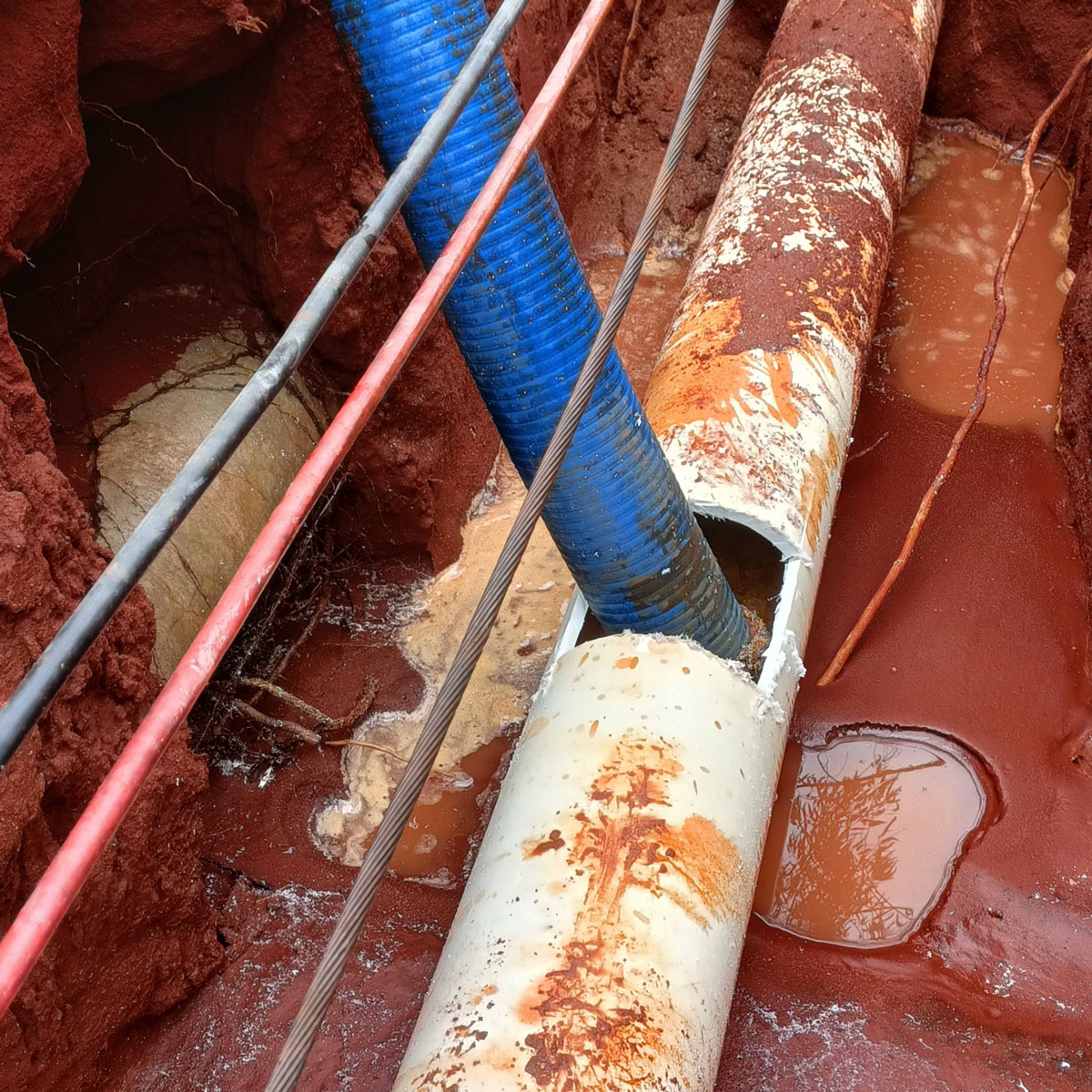
Advanced Water Leak Detection
Our advanced water leak detection services utilise cutting-edge technology to pinpoint leaks, preventing water wastage and reducing repair costs.
How Ground Penetrating Radar (GPR) Scanning Works
GPR operates by transmitting a pulse of high-frequency electromagnetic energy into the ground or a concrete structure.
Transmission
The GPR antenna sends radar pulses into the target material (soil, concrete, asphalt).
Reflection
When the pulse encounters a boundary between different materials (e.g., soil meeting a plastic pipe, or concrete meeting steel rebar), part of the energy is reflected back to the receiver.
Imaging
The system measures the time it takes for the signal to return, which determines the depth of the object. These reflections are processed to create a real-time, cross-sectional image, or radargram, of the subsurface.
Results
Our expert technicians interpret these reflection patterns, marking the location and estimated depth of the buried or embedded objects directly onto the surface.
GPR Scanning Service Applications
GPR is an invaluable tool across construction, civil engineering, and environmental sectors, providing clarity for both horizontal ground surveys and vertical structure analysis.
GPR Utility Locating Services & Mapping (Horizontal Surveys)
The ideal solution for locating utilities that EMF cannot find.
-
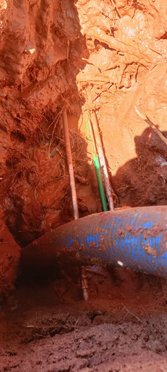
Non-Metallic Pipelines: PVC water mains, plastic gas lines, asbestos cement (AC) pipes, and fibre optic conduits without a tracer wire.
-
Drainage & Sewer: Concrete and earthenware storm and sewer lines.
-
Subsurface Voids: Detecting sinkholes, washouts, buried debris, and old foundations.
-
Tanks & Vaults: Locating buried storage tanks (USTs) and underground vaults.
Concrete Scanning & Structural Analysis (Vertical Surveys)
Essential for pre-engineering and demolition on existing structures.
-
Rebar & Mesh: Accurately locate, map, and determine the depth of reinforcing steel before drilling or cutting.
-
Post-Tension Cables: Pinpointing high-tension cables is critical for preventing structural failure and serious injury.
-
Conduits & Services: Locating electrical, water, and communication conduits embedded within concrete slabs or walls.
-
Slab Thickness: Non-destructively determine the thickness of concrete foundations and floor slabs.
Why Choose Utiliseek for Your GPR Needs?
We combine cutting-edge GPR equipment with certified expertise to deliver reliable and actionable data.
-
The Power of Combination: We often use GPR alongside EMF Locating (for a conductive materials cross-check) to provide the highest level of accuracy and confidence available (moving toward QL-A standards).
-
Skilled Professionals: Our technicians are fully trained in GPR operation and radargram interpretation, ensuring the objects we mark are real and accurately identified.
-
Data Delivery: We provide clear, detailed mark-outs on-site, along with professional digital mapping (CAD/GIS) for your project records.
Service Areas
Brisbane – All suburbs
Ipswich – Amberley, Blacksoil, Booval, Brassall, Grandchester, Hatton Vale, Karalee, Marburg, Redbank, Redbank Plains, Ripley, Rosewood, Springfield Central, Springfield Lakes, Walloon, Yamanto.
Lockyer Valley – Forest Hill, Gatton, Helidon, Laidley, Plainland, Regency Downs, Withcott.
Logan City – Beenleigh, Flagstone, Greenbank, Jimboomba, Logan Central, Logan Village, Meadowbrook, New Beith, Springwood.
Scenic Rim – Aratula, Boonah, Harrisville, Kalbar, Peak Crossing.
Somerset Region – Coominya, Esk, Fernvale, Lowood, Toogoolawah.
Get in Touch for Expert Utility Services
Interested in our utility locating and inspection services? Fill out the contact form below to connect with our team of experts. We are here to provide the insights and support you need for your next project. Don’t wait—ensure your site’s safety and efficiency today!