Ensuring Safety and Precision in Every Project
AS 5488 Utility Mapping & Reporting
Transform Subsurface Data into Actionable Intelligence
Utility Locating is the first step; Utility Mapping & Surveying is the critical final step that delivers definitive, design-ready data. Utiliseek integrates the data captured from our EMF, GPR, and Potholing services into accurate, geo-referenced digital maps.
This service is essential for engineers, architects, and project managers who require precise spatial data to prevent utility clashes, optimize design, and achieve compliance with construction standards.
The Utiliseek Mapping Advantage:
-
Integrated Data: We combine geophysical (EMF/GPR) and physical (Potholing) data into a single, cohesive map.
-
Design-Ready Deliverables: Our maps are provided in industry-standard formats (CAD, GIS, PDF) and are immediately usable for design and clash detection.
-
AS 5488 Compliance: We deliver data classified by Quality Level (QL), ensuring you know the reliability and accuracy of every asset shown.
Our Professional Services
EMF Utility Locating
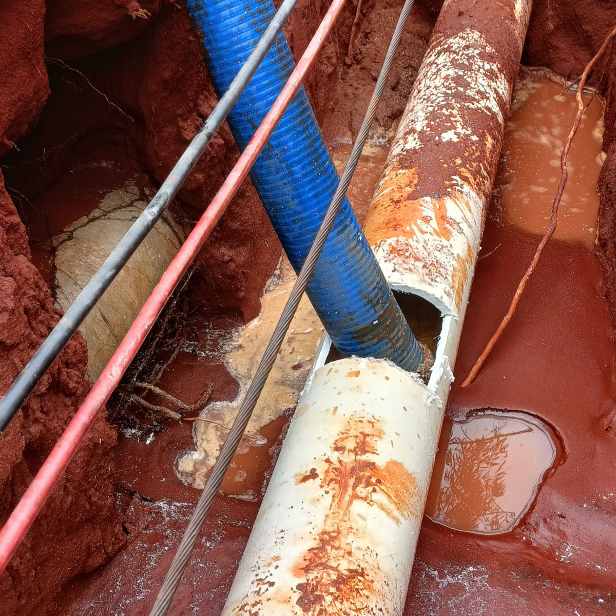
Our EMF utility locating service uses electromagnetic frequency technology to accurately detect and map underground utilities, ensuring safe and efficient excavation.
CCTV Drain Inspections
Utiliseek’s CCTV drain inspections provide a clear view of your drainage systems, identifying blockages and structural issues with precision and clarity.
Advanced Water Leak Detection
Our advanced water leak detection services utilise cutting-edge technology to pinpoint leaks, preventing water wastage and reducing repair costs.
Our Utility Mapping Process
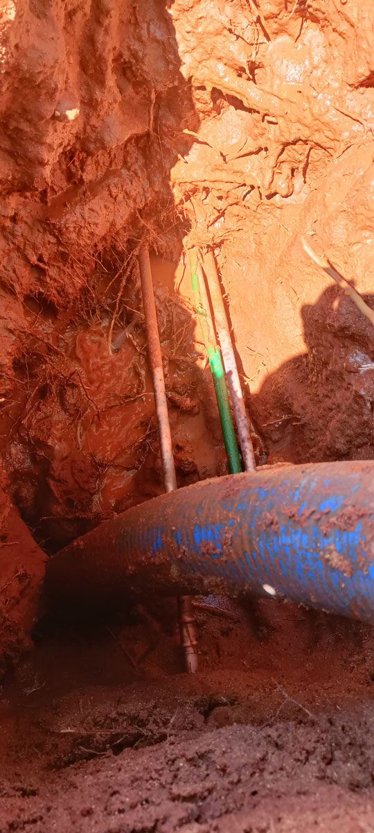
Utility mapping goes beyond simple paint marks on the ground. It is the professional act of recording and classifying subsurface utility information (SUI).
Field Data Collection (The Locate Phase)
We utilize our full suite of locating technology to determine the position of all assets:
-
Electromagnetic (EMF) Locating: Used to trace all metallic/conductive pipes and cables.
-
Ground Penetrating Radar (GPR): Used to detect non-metallic pipes, concrete structures, and voids.
-
Non-Destructive Excavation (NDE) Potholing: Used to physically expose critical utilities to gain the highest level of information.
Geospatial Surveying (The Mapping Phase)
Once the utilities are located, our surveyors use professional-grade equipment to record their precise location:
-
Total Station or RTK GPS: Captures the accurate horizontal coordinates of the located utilities.
-
Depth Measurement: Vertical measurements are taken from the surface to the utility, providing confirmed depth.
Data Integration & Deliverables
The collected data is compiled, drafted, and classified into final outputs:
-
CAD Drawings: Detailed plans showing utility alignments, depths, and clash points for design software.
-
GIS Data: Geo-referenced files (e.g., KMZ, Shapefiles) that can be easily loaded into Geographical Information Systems for large-scale management.
-
Comprehensive Reports: Documentation detailing the methods used, equipment employed, and the assigned Quality Level (QL) for every located asset.
The Importance of Quality Levels (AS 5488)
Every project requires a different level of accuracy. Utiliseek provides data categorized according to the Australian Standard for Subsurface Utility Information (AS 5488), ensuring transparency and trust in your plans.
Your Trusted Mapping & Surveying Partner
Utiliseek provides the definitive utility maps that allow you to design and construct safely.
-
Qualified Surveyors: Our surveying team holds the necessary certifications and uses regularly calibrated equipment to ensure maximum accuracy.
-
End-to-End Solution: From initial field locating to the delivery of QL-A certified data, we manage the entire process.
-
Local Expertise: Serving all project scales from residential builds to major infrastructure across Brisbane, Ipswich and SEQ.
Service Areas
Brisbane – All suburbs
Ipswich – Amberley, Blacksoil, Booval, Brassall, Grandchester, Hatton Vale, Karalee, Marburg, Redbank, Redbank Plains, Ripley, Rosewood, Springfield Central, Springfield Lakes, Walloon, Yamanto.
Lockyer Valley – Forest Hill, Gatton, Helidon, Laidley, Plainland, Regency Downs, Withcott.
Logan City – Beenleigh, Flagstone, Greenbank, Jimboomba, Logan Central, Logan Village, Meadowbrook, New Beith, Springwood.
Scenic Rim – Aratula, Boonah, Harrisville, Kalbar, Peak Crossing.
Somerset Region – Coominya, Esk, Fernvale, Lowood, Toogoolawah.
Get in Touch for Expert Utility Services
Interested in our utility locating and inspection services? Fill out the contact form below to connect with our team of experts. We are here to provide the insights and support you need for your next project. Don’t wait—ensure your site’s safety and efficiency today!